


 The Yellowstone Caldera, sometimes known as the Yellowstone super volcano, is a volcanically active region in Yellowstone National Park. You can get a glimpse of the crater from the overlook. Yellowstone, like the Hawaiian Islands, is believed to lie on top of one of the planet's few dozen hotspots where light hot molten mantle rock rises towards the surface. Within the past two million years, it has undergone three extremely large explosive eruptions, up to 2,500 times the size of the 1980 Mount St. Helen's eruption. There is a documentary film that I watched based on "what if there is an Yellowstone Volcanic eruption" and it basically will destroy the entire North America continent and beyond. That bare tree is a symbol of events to come.


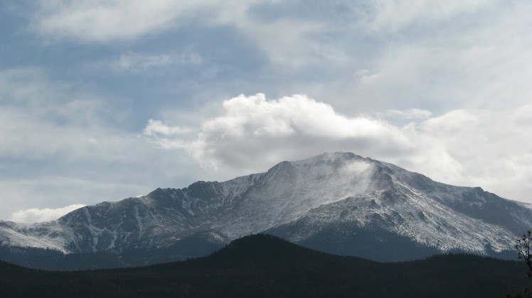
 It was an extraordinary visit to Jackson Hole Wyoming and The Grand Teton National Park. I tried to give as much detail about my visit for those who are interested in visiting the park. One thing I need to mention is the smell of sage is all over the meadows. It is a wonderful scent and the wildflowers were endless. The fresh cool air, mountain rivers and lakes, wildlife, the forest, the call of the wild is beckoning me to come back and I will again and again.


 It is always fun to take a side road adventure where most tourist usually will not travel. We drove to Two Ocean Lake by turning onto Pacific Creek Road before we got to Moran Junction. We were not sure exactly where the road would led but we wanted to see the Bridger-Teton National Forest. The top photos are of Pacific Creek River and Ocean Lake and the photo right is the view at the intersection of Pacific Creek and Two Ocean Road. Pacific Creek Road is paved but very narrow and roughly follows the river and Two Ocean Road is an unpaved gravel road and is too narrow for two way traffic. There are trailheads that follows the shoreline of the lakes and river.


